The scenery along the Te Araroa trail gets better and better the further south you go. I thought I'd hit a high at Waiu Pass south of St. Arnaud but apparently not. The following pictures are along the sections of North Canterbury and entering South Canterbury zone including the Harper river and Lake Hill tracks, the Rakaia River which I bypassed and the Clearwater Track and Rangitata river which I did cross (over 5k across river valley and included a little Te Araroa freestyle track to Mt. Sunday where they filmed the scenes for Rohan in the Lord of the Rings Movies) and then on to the Two Thumbs Track.
I've chosen to skip the 55k of Tar road along the canal between Tekapo and Twizel to afford myself a little more time at lake Ohau and in the mountains south into the East Ahuriri and on into Otago land.
 |
| Above tree line on the South Island of NZ it can be pretty sparce. |
 |
| One of the many river beds making up hundreds of kilometer along the Te Araroa Trail. |
 |
| These funny red mushrooms grow in Washington State also and are all along the Te Araroa Trail. Smurf Houses! |
 |
| A thru hiker taking a rest along the Te Araroa trail. dbSmurf!?!? |
 |
| As South Island, New Zealand, as a photo can be. |
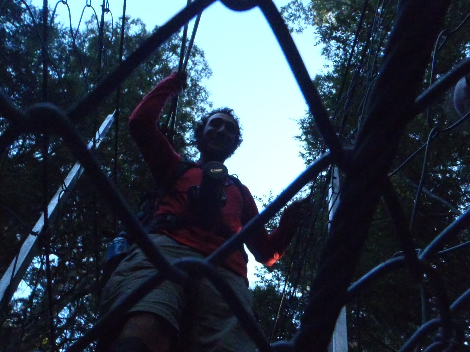 |
| Ludo seen crossing a suspension bridge from below. |
 |
| Fludo, the new name for Flore and Ludo, crossing one of many rivers along the Te Araroa Trail. |
 |
| Fludo and Richard all taking a different approach to this stream crossing. |
 |
| Flore and Ludo demonstrating a dbBrad - 'another day with wet feet on the Te Araroa trail' |
 |
| River in summer looking very dry but dangerous as all get out when the snow melts. |
 |
| Hey, it's Richard, and this was the last Straw for the day! |
 |
| Cool rock on the Te Araroa Trail, NZ South Island. |
 |
| New Zealand, South Island, big country on a little island! |
 |
| Richard Wagner demonstrates dual pole-ing technique and a slalom walk converting two boring trails and making it one, more exciting trail! |
 |
| Monocromatic images abound in the high country of NZ along the Te Araroa Trail. |
 |
| The trail that wasn't there, Te Araroa. Steep terrain and a do-it-yourself path! |
 |
| A hut, a Te Araroa thru hiker, a rock and, for once, a trail! |
 |
| Beautiful open spaces of New Zealand |
 |
| Ludo, Kenyon and Flore along the Te Araroa Trail. |
 |
| One of the many valleys you'll pick your way down as you walk the Te Araroa Trail. |
 |
| Not quite sure what happened here but it sure looks cool. Perhaps a Te Araroa best of photograph! In the hills looking down at Lake Tekapo. |
 |
| dbBrad's green shirt was appropriate to blend in the landscape on the North Iisland but should be replaced with a golden brown shirt for the South Island! |
 |
| Richard Wagner and a DoC marker along the Te Araroa Trail. |
 |
| Sort of a trail here as we cross high alpine terrain along the Te Araroa Trail. |
 |
| dbBrad and Richard on the Te Araroa trail along a very difficult section called the Clent Hills Track. It included a steep climb through deep tussock and then about a 4 kilometer traverse along steep, deep and thick tussock that was hard to stand on and very tiring. |
 |
| Cross country on the Te Araroa Trail. |
 |
| Golden grass lands with the setting sun and cool blue mountains as viewed from the Te Araroa Trail. |
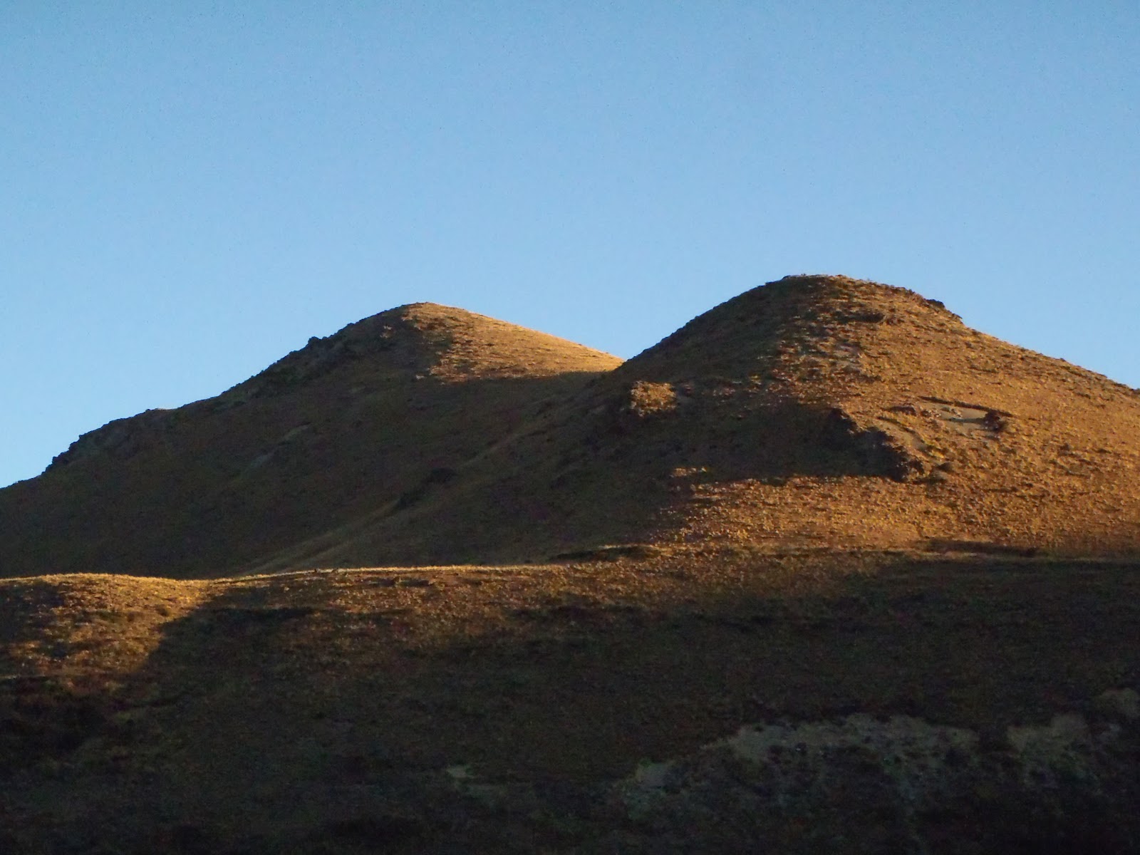 |
| Breast mountains! Perhaps too much solo time along the Te Araroa Trail! |


